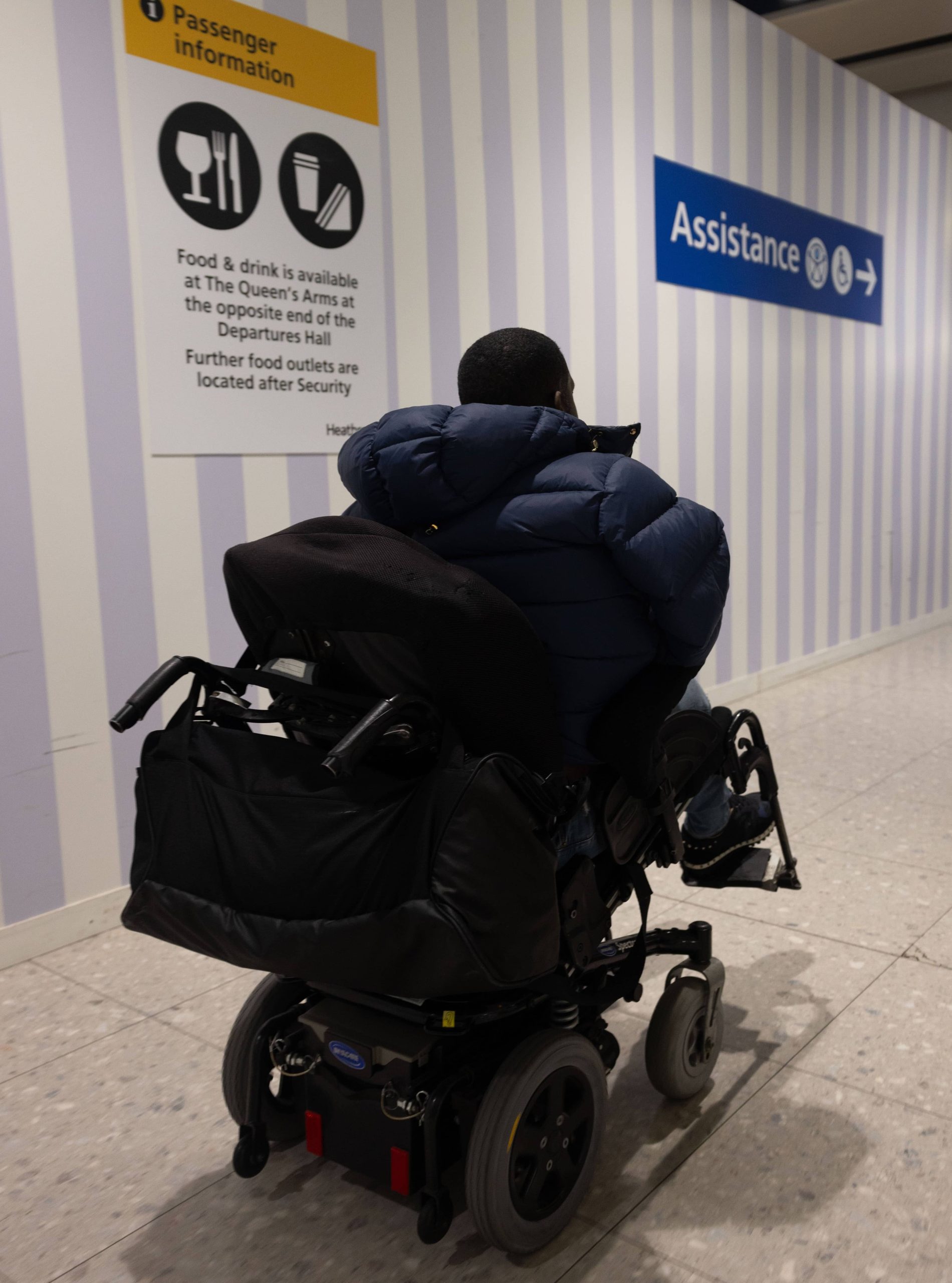
There are significant gaps in available accessibility data, which prevent disabled people from planning and travelling easily.
Previous efforts have failed to address these gaps, leaving disabled people without essential travel information. This report focuses on identifying and suggesting new sources of data. It provides recommendations, and a blueprint (excel spreadsheet linked below), on how this data can be integrated into journey planning solutions.
Please note that while the Dataset linked below passes the excel accessibility checker, as a spreadsheet it is not fully accessible for all users.
DATASET EXCEL SPREADSHEET
What did we do?
We conducted three stages of research:
- Desktop review of existing accessibility data looking at scale, completeness, accuracy, transferability, compatibility and timeliness.
- Survey of over 1,200 disabled people: covering general information, service details, terrain, and location specifics.
- Comparison of requirements and actual data: We analysed how well various sources (e.g., Google Maps, Apple Maps, local authority apps) met the needs of disabled people, scoring them from ‘Poor’ to ‘Excellent’ for each data type.
- From this we developed a ‘blueprint’ that outlines a series of actions for standardising data across the industry. This blueprint (available as a dataset in the links at the bottom of the page) highlights the need for quality enhancement, increased awareness of existing data sources, and investment in technology to improve data quality.
What did we find out?
- Digital tools are essential for journey planning and payment
- The perfect accessibility dataset doesn’t currently exist
- Accurate and reliable real-time updates are essential for effective travel
- Detailed landscape information (e.g. terrain, steps, slopes, surfacing and other physical features) is vital for journey planning
- Disabled people need better access to wayfinding, audio announcements, and visual displays.
- There is a need for personalised journey information
- Accessibility data should be standardised across the industry
What next?
More reliable, accessible, and real-time data is needed to meet the needs of disabled people effectively.
The top five types of data people would like access to are:
- Real-time location/availability of assistance staff (29%)
- Journey cancellation/delay process (29%)
- Location/availability of waiting rooms/shelters (28%)
- Real-time priority spaces/seating (28%)
- Real-time vehicle overcrowding (28%)
We recommend service and facility operators roll out improvements as follows:
- Integrate real-time data feeds for waiting rooms/shelters to provide up-to-date information.
- Install real-time monitoring systems for lifts to ensure they are operational and available.
- Increasing visibility of maps and wayfinding through accurate signposting.
- Install text-to-speech systems for audible announcements at stops and stations.
- Determine onboard catering facilities and develop interactive maps to find facilities at stops.
Highlights Report
Short form Word format
Large print Word format
Full Report
Long form Word format
Accessible PDF format
Dataset
Excel Spreadsheet Dataset
Please note that while this document passes the excel accessibility checker, it is not fully accessible for all users.
For any enquires please contact info@ncat.uk